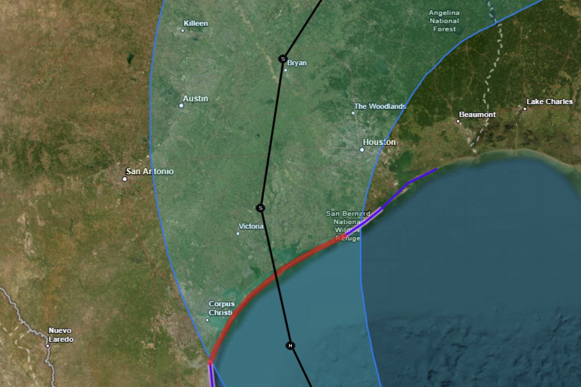
KATY, TX (Katy News coverage) – Tropical Storm Beryl remains on track and is likely to make landfall in Texas during the morning hours Monday, according to Space City Weather.
“As of 4 p.m. (Saturday), Beryl remains a strong tropical storm with winds of 60 mph and slowly falling central pressure,” wrote meteorologist Eric Berger. “There remains a fair amount of uncertainty about exactly what winds, storm surge and precipitation the greater Houston area will experience.”
The impact on Houston remains unclear.
“We are less than two days until Beryl makes landfall and there are still many questions about the severity of the impacts in Houston,” Berger wrote. “As far as planning goes, it is becoming increasingly clear that Monday, perhaps from the early morning hours into the early afternoon, will be the time of most severe weather.”
Berger says Saturday’s rain in Katy had nothing to do with Beryl’s impending arrival.
“These storms are not directly related to Hurricane Beryl, but rather are the result of a waning front meeting the sea breeze and accompanying the peak warming of the day,” Berger wrote. “These storms should drift southwestward tonight (Saturday) before dissipating at sunset or before. After that, we can expect a quiet night.”
The National Weather Service has issued a flood warning from Sunday night into Tuesday morning. According to the NWS, excessive rainfall and runoff may flood rivers, creeks, streams and other low-lying and flood-prone areas.


