
Hurricane Beryl is gaining strength; Chris and Debby are likely on the way too

The Atlantic is experiencing its first hurricane of the 2024 hurricane season: Beryl was upgraded from a tropical storm to a hurricane today and is expected to strengthen and become a major hurricane in the coming days. While Beryl will become a problem in the coming days, two new systems could also form in the coming week and tropical storms or hurricanes Chris and Debby could also form.
The National Hurricane Center (NHC) warns: “Beryl is expected to be a dangerous hurricane when it makes landfall in the Leeward Islands late Sunday night or Monday, bringing damaging hurricane-force winds and life-threatening storm surge.” Hurricane warnings and watches are currently in effect for much of the Leeward Islands. In addition to strong winds and storm surge, heavy rains and localized flooding are also expected in the Leeward Islands Sunday night and Monday. Outside of the Leeward Islands, Beryl could also impact elsewhere in the central and western Caribbean over the next few days, with more direct impacts possible.
According to the last warning from the National Hurricane Center, Beryl was located at 10.1N 49.3W, about 720 miles east-southeast of Barbados. Maximum sustained winds are 75 mph, making it a Category 1 hurricane on the Saffir-Simpson wind scale. The storm is moving west at 22 mph. Minimum central pressure has dropped to 992 mb or 29.30″.

The government of Barbados has issued a hurricane warning for the island, while a hurricane watch is in effect for St. Lucia, St. Vincent and the Grenadines, and Grenada. A tropical storm warning has also been put in effect for Martinique, Dominica, and Tobago. A hurricane warning means hurricane conditions are expected somewhere within the warning area. A warning is usually issued 36 hours before the first expected occurrence of tropical storm-force winds, conditions that make outdoor preparations difficult or dangerous. Preparations to protect life and property should be completed expeditiously in the area, according to the NHC. A hurricane watch means hurricane conditions are possible within the warning area. A warning is usually issued 48 hours before the first expected occurrence of tropical storm-force winds, conditions that make outdoor preparations difficult or dangerous. A tropical storm warning means tropical storm conditions are possible within the warning area, usually within 48 hours.
According to the NHC, a relatively rapid west to west-northwest motion is expected over the next few days. On the forecast track, the center of Beryl is expected to move over the Leeward Islands late Sunday night and Monday. Continued steady to rapid strengthening is forecast, and Beryl is expected to become a dangerous hurricane with maximum sustained winds in excess of 110 mph before reaching the Leeward Islands. Hurricane-force winds will extend up to 10 miles outward from the center and tropical storm-force winds will extend up to 60 miles outward.
A life-threatening storm surge will raise water levels in coastal areas near where Beryl makes landfall in the hurricane warning and watch areas by as much as 5 to 7 feet (1.5 to 2.1 meters) above normal tide levels. The surge will be accompanied by large and destructive waves near shore.
Beryl is expected to bring 3 to 6 inches of rainfall to Barbados and the Leeward Islands Sunday night into Monday. This rain may cause flooding in vulnerable areas. Showers and thunderstorms well north of Beryl may bring 1 to 4 inches of rainfall to parts of southeastern Puerto Rico Monday night into Tuesday. Rainfall from Beryl may impact parts of southern Hispaniola Tuesday into Wednesday, where 2 to 6 inches are possible.
While Beryl keeps meteorologists busy at the NHC, meteorologists there are also tracking two other disturbances that could also develop into tropical cyclones. The next two names given to tropical storms in the Atlantic basin are Chris and Debby, but it’s too early to know for sure if these other two systems will receive those names in the coming days.
According to the NHC, an extensive low pressure system will form over the Bay of Campeche tonight or early Sunday, where conditions appear generally favorable for further development. A tropical depression could form before the system moves back inland over Mexico early next week. “Interested parties along the Gulf Coast of Mexico should monitor the path of this system,” the NHC warns. Regardless of development, heavy rains associated with the low pressure system will affect parts of Central America and Mexico through early next week. Currently, the NHC says there is only a 50-50 chance of this developing into a tropical cyclone in the next 7 days.
An even more impressive system is located to the east of Hurricane Beryl. A low pressure system several hundred miles southwest of Cape Verde is producing a region of intermittent showers and thunderstorms. Environmental conditions appear to favor further development of this system, and a tropical depression may form by the middle of next week as it moves westward across the eastern and central tropical Atlantic at 15 to 20 mph. The NHC says there is a 70 percent chance of a tropical depression forming here in the next 7 days.
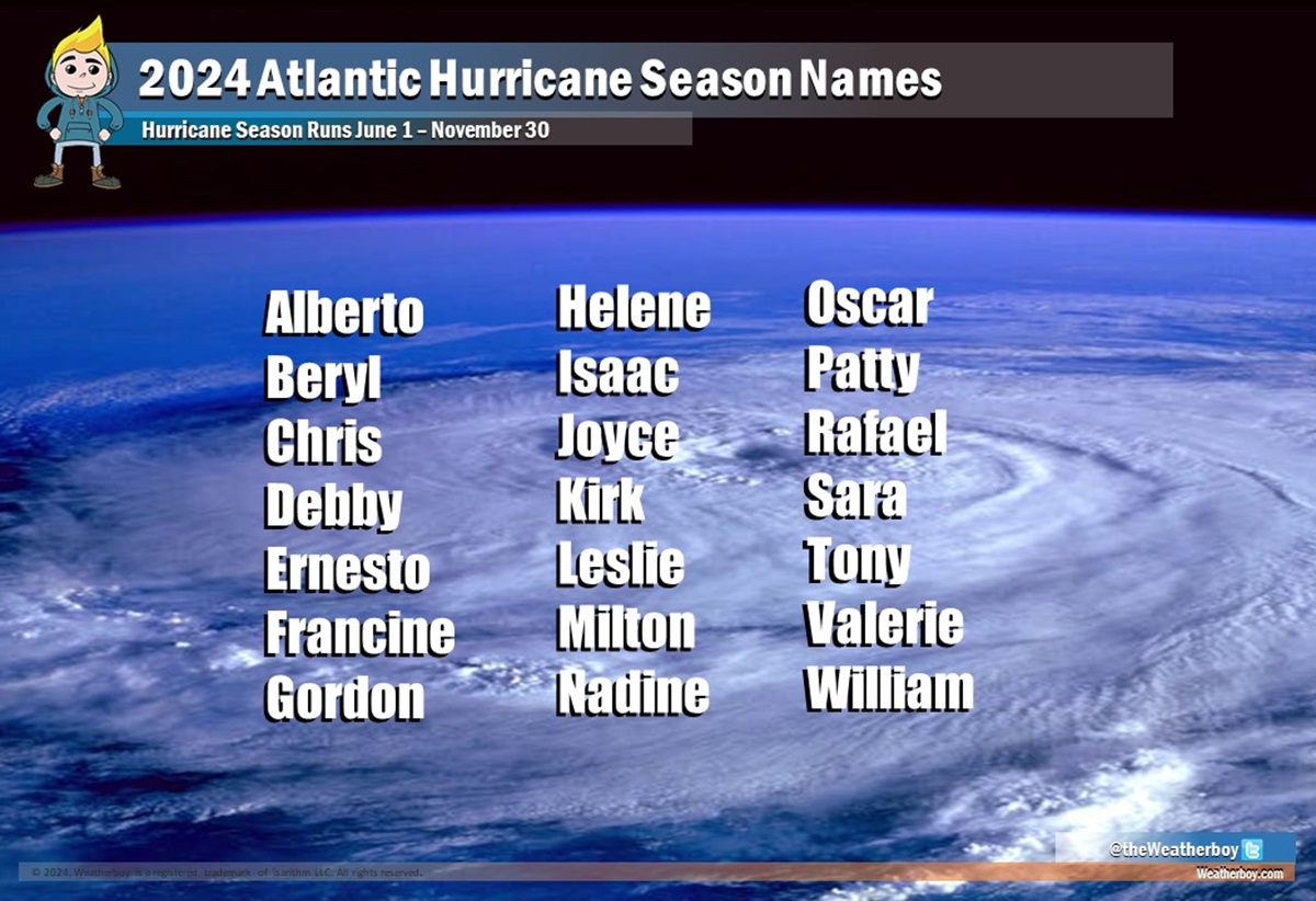
The Atlantic hurricane season began on June 1 and lasts until the end of November.

For this reason, singer Gregory Porter often wears a hat

“The Voice” singer Tom Nitti from Central New York performs at the NYS Fair

